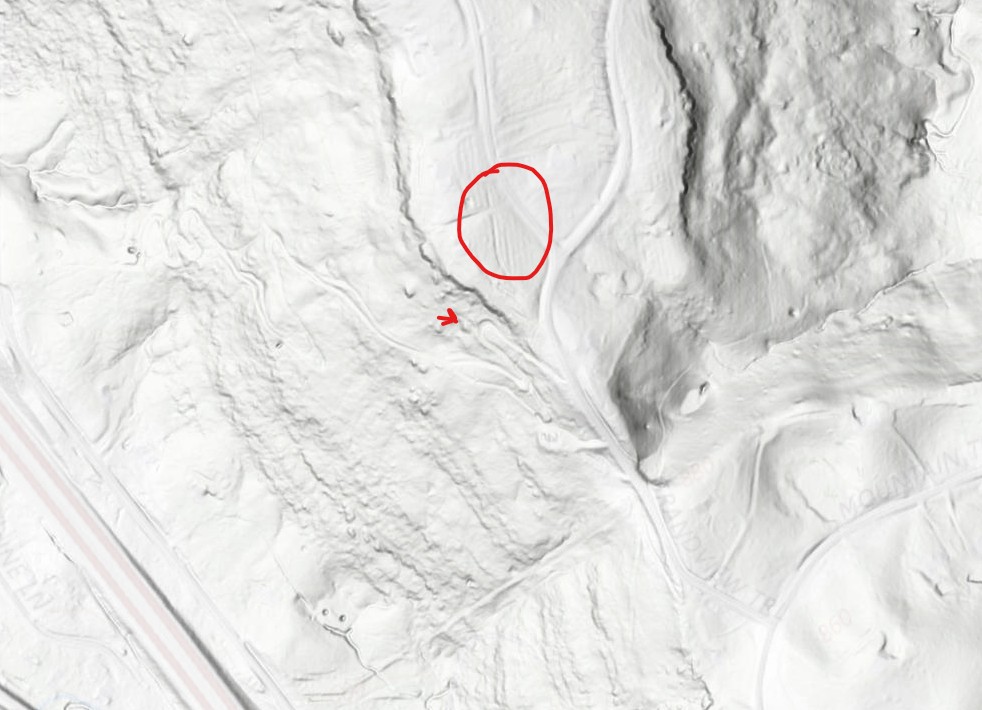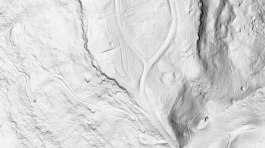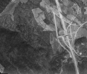


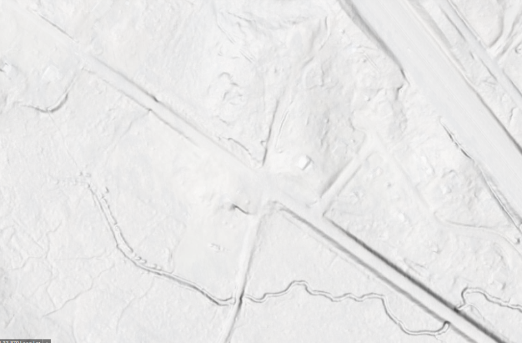
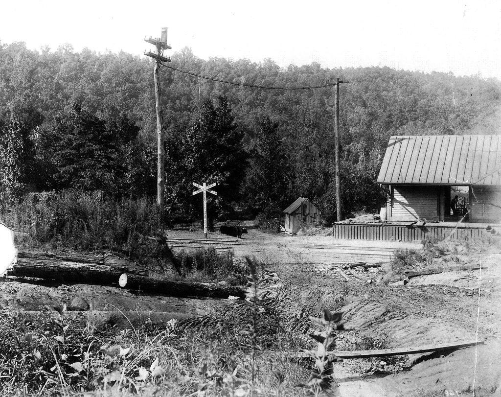
Much of what’s known about Reid’s Gap and the roads that predate Smoke Rise comes from LIDAR - laser-based elevation mapping that sees through tree canopy to the bare ground beneath. Comparing LIDAR against an 1889 topographic map placed Reid’s Gap itself at a crossroads just south of the old railroad’s curve, before the creek crossing - putting the depot roughly in the front yard of a home on today’s Poplar Trail, across from the road to the Reid family cemetery.
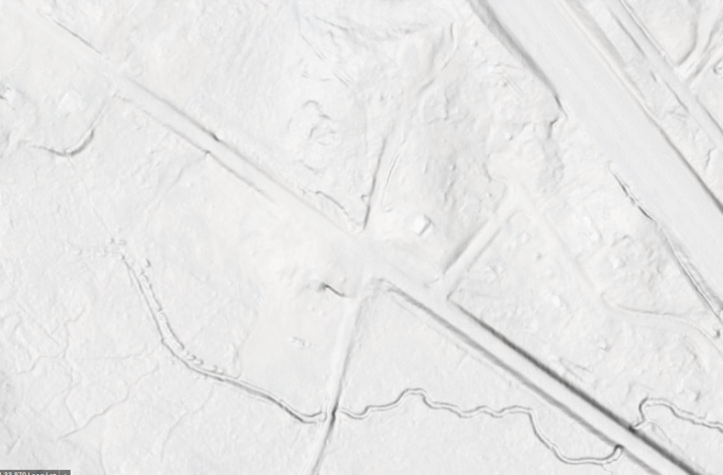
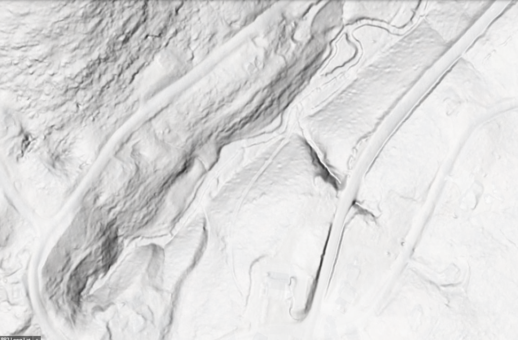
The same method traced a stone-built roadbed along a creek on Smoke Rise property, long known locally only as “the logging road,” and confirmed the switchback in the old dirt road up to Grandview shown on the 1951 map - a stretch of ridge that, on the same LIDAR imagery, also shows what appear to be old peach-orchard terraces from E.J. Bryan’s operation.