

The push for a highway along this route didn’t start with the rail-bed conversion - it started two years earlier, as a fight over which way the road would even go. In September 1914, twenty citizens from Blount, Cullman, and neighboring counties signed a letter to the Birmingham Age-Herald opposing State Engineer W.S. Keller’s apparent lean toward a longer route through Oneonta and Blountsville, and called a public meeting at Blount Springs for September 17 to press their case. Keller came, exactly as asked, and conferred with citizens at Blount Springs on the date named. Among the 1914 signers: W. Melville Drennen and W.F. Harrell, both listed as “Blount Springs” - the same two men Blount County would send as delegates to the 1916 Clanton meeting that formally organized the route.
After the L&N pulled its tracks between Blount Springs and Warrior in 1915-16, that organizing push moved to converting the old rail bed into the highway itself. Blount County sent delegates - including E.J. Bryan, Drennen (of Drennan Land & Timber), and Harrell (who owned the quarry at Bangor) - to a July 1916 Forrest Highway association meeting at Clanton to organize the route. It took roughly a decade to get it fully paved, delayed mainly by Blount County’s chronically thin road budget; by the early 1920s, maps show it running Birmingham through Warrior, Blount Springs, and Blountsville under a name that stuck: the Bee Line.
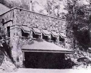
The road became physically possible in Blount County because one man gave up the land for it. On September 4, 1921, the Birmingham Age-Herald reported that Drennen - by then the owner of Blount Springs itself - had granted the state highway commission right-of-way along the old L&N roadbed through Blount County, completing the Bee-Line’s connection between Nashville and Orlando. At the time of the grant, five bridges were under construction along the route, including one over the Mulberry River near Garden City costing $40,000; the Birmingham Automobile Club (President Charles G. Davis, Secretary James P. Dobbins) was coordinating with the Bee-Line Highway Boosters Association of Cullman, led by George Stiefflemyer, on route markers for the more than 200,000 tourists expected to use the highway that winter.
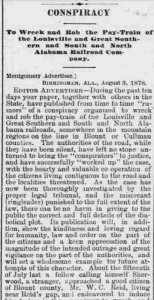
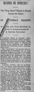
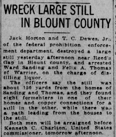
Once Prohibition took effect in 1920, the same hollows and cold springs that had drawn resort visitors to Blount Springs a century earlier drew moonshiners - and Reid’s Gap shows up repeatedly in the federal raid reports. In 1921, agents Jack Horton and T.C. Dewes Jr. destroyed a still near Reid’s Gap and arrested Ward Sanding and Felix A. Thomas of Warrior, finding eight fermenters and copper still connections roughly 150 yards from the men’s homes. In 1922, Prohibition officers Eubanks, Robey, and Sullivan found another still at Reid’s Gap with 500 gallons of fermenting mash - brewed, ingeniously, in a repurposed 60-gallon gasoline tank.

A steel tank found in a cave creek near a spring on Smoke Rise property in 1975 - alongside a charcoal-filled pit later buried by decades of flooding - is consistent with a still condenser and mash-cooking setup of exactly this kind, on exactly this ground.