1958-Present
Logan’s General Store: A Highway 160 Landmark Since 1958
Logan’s General Store opened on Highway 160 in 1958, the same year aerial photographs still show the land that would […]



How the county's rural roads and land became the modern subdivisions and interstate interchanges of today.
Logan’s General Store opened on Highway 160 in 1958, the same year aerial photographs still show the land that would […]
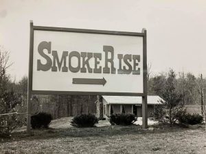
Before it was a subdivision, it was farmland and forest, visible in a 1958 aerial photo of the ridge east […]
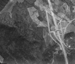
Construction on Interstate 65 began in 1958, and the highway opened through this stretch of Blount County on April 1, […]
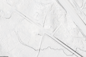
Much of what’s known about Reid’s Gap and the roads that predate Smoke Rise comes from LIDAR - laser-based elevation […]