Advertisement
Rickwood Caverns ad — orange cavern postcard (corrected copy), 728x90

Smoke Rise

News

Directory

Hometown Vintage Mall

205-876-3786 Mon closed; Tue-Thu 7 AM - 4 PM; Fri-Sat 7 AM - 5 PM; Sun 10 AM - 5 PM

The Blue Door Apparel

205-543-0039 Sat 10am-2pm, Tue-Fri 10am-6pm, closed Sun/Mon. T-shirts, screen printing, in-house embroidery, boutique items, school apparel, blanks/vinyl for DIY.

← Choose a different category

History

1813-1889

Chasing the Black Warrior Road

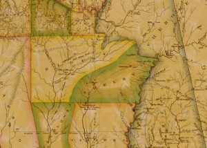
A thin line on an 1818 map led me to a Creek town, a vanished road, and a question I am still trying to answer: which way did the Black Warrior Road run through Brown's Valley?

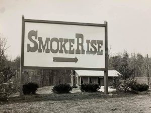
Black and white photograph of the original wooden Smoke Rise entrance sign, with an arrow pointing toward the subdivision entrance 1968

The Founding of Smoke Rise

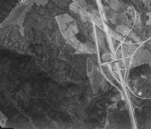
Before it was a subdivision, it was farmland and forest, visible in a 1958 aerial photo of the ridge east […]

1958 aerial photo of the I-65 interchange under construction 1958-1967

I-65 and the Roads of Smoke Rise

Construction on Interstate 65 began in 1958, and the highway opened through this stretch of Blount County on April 1, […]

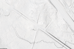
LIDAR hillshade showing the old Reid's Station site Present-day research

Tracing It With LIDAR

Much of what’s known about Reid’s Gap and the roads that predate Smoke Rise comes from LIDAR - laser-based elevation […]

1878

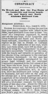
The Conspiracy to Rob the Train

In mid-July 1878, a stranger calling himself Sherwood approached W.C. Reid - a Blount County man living near Reid’s Gap, […]

Share with

Scroll to Top